 Download
Effortlessly manage KML/KMZ/GPX files with GIS capabilities, precise measuring tools, GPS tracking, WMS support, and offline map access.
Thank you for choosing MAPinr. Rapid Android version updates challenge non-profit projects like ours, but we remain committed to delivering a secure, privacy-focused, and budget-friendly app.
We acknowledge Google's Android version requirements may exclude older devices. For unsupported versions (pre-Android 14), we provide legacy APKs on our website outside the Play Store ecosystem.
Need to organize personal points of interest? Looking for a solution to geo-tag your photos?
MAPinr is a streamlined (ad-free) Android app for KML/KMZ file management and GPX visualization across multiple map types. Ideal for professionals and outdoor enthusiasts alike – whether hiking, cycling, running, or skiing.
Share your feedback and improvement ideas at [email protected]. Instead of frustration over missing features, help us grow with constructive suggestions. While we can't implement every request due to limited resources, we value your understanding as we address bugs and enhance functionality.
MAPinr offers these powerful features:
1. Completely ad-free experience
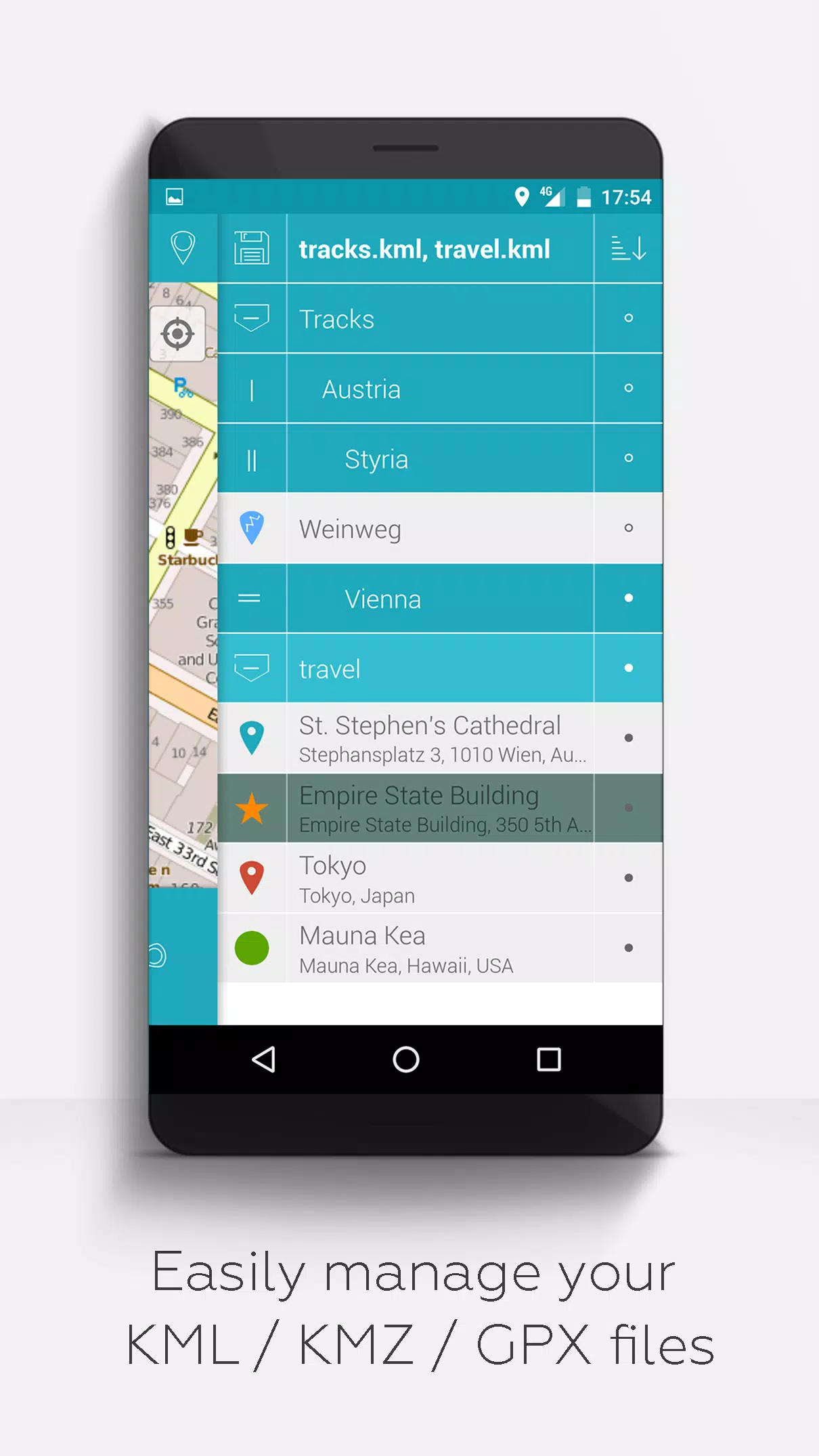
2. Hierarchical folder system for organizing KML/KMZ/GPX files
3. Full KML/KMZ file operations: create, edit, save, import, export, and share
4. Comprehensive waypoint, track, and polygon management
5. Photo attachment capability for waypoints (creating visual maps)
6. Multi-platform map display (Maps, Satellite, Hybrid, OpenStreetMap, etc.)
7. Coordinate sharing functionality
8. Custom coloring for all map elements
9. Cross-app KML/KMZ file compatibility
10. Advanced search by name, address, or coordinates
11. Real-time location sharing
12. Simultaneous display of multiple geographic files
13. KML/KMZ file merging capability
14. Cloud storage integration
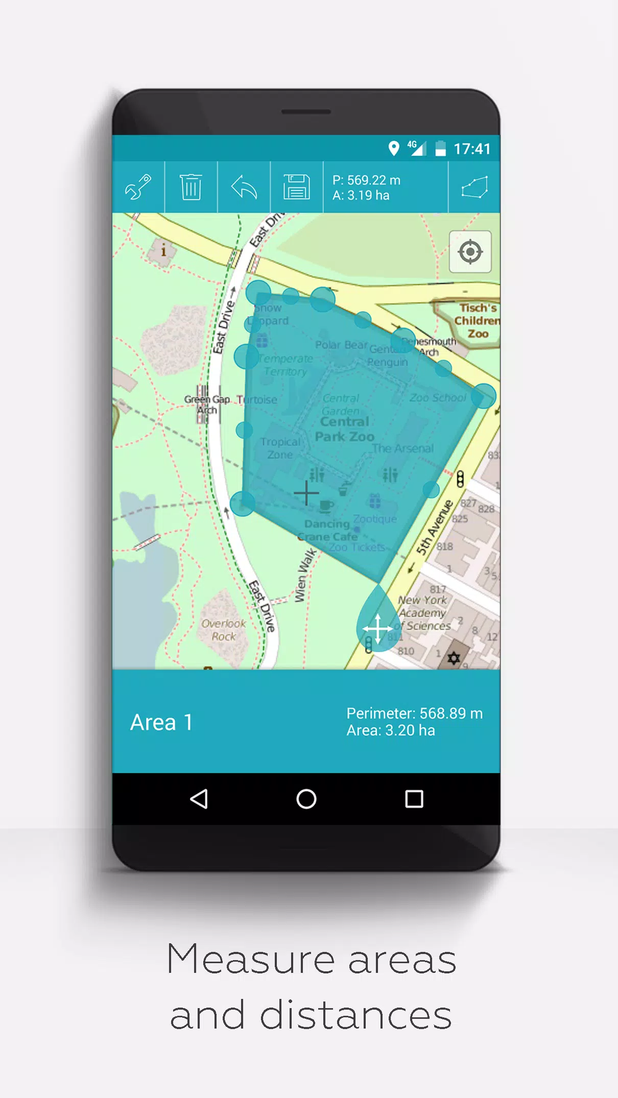
15. Precise distance and area measurement tools
16. Multilingual support (English, Spanish, Lithuanian, Polish)
Premium features unlocked via donations or social engagement:
1. Offline map downloads (OpenStreetMap)
2. GPX viewing capabilities
3. WMS integration for custom map layers
4. Custom metadata creation
5. Personalized icon uploads
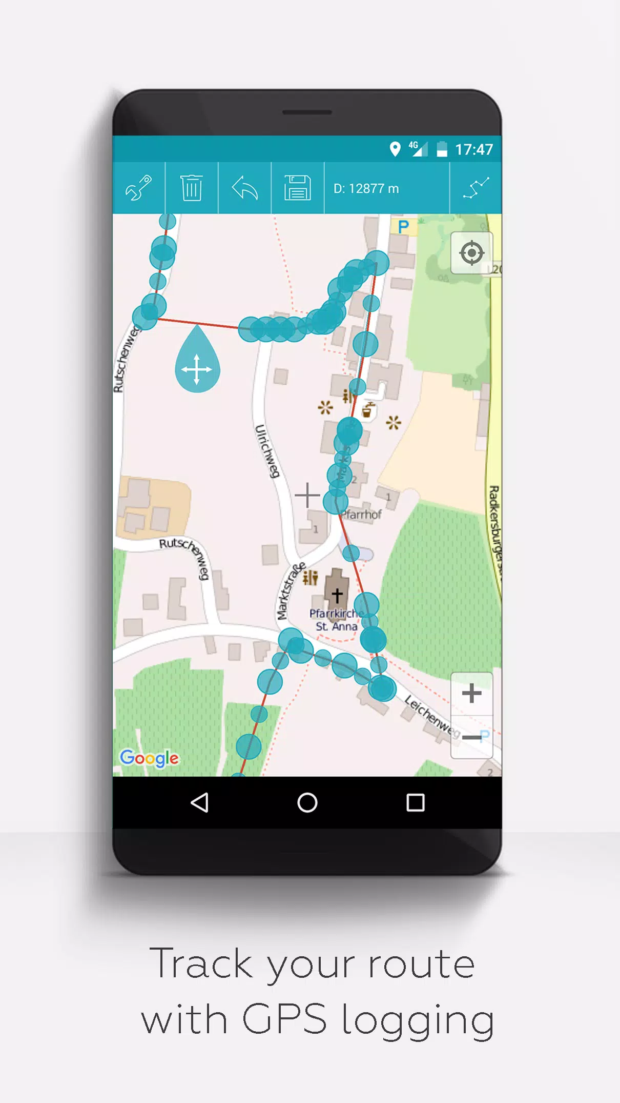
6. GPS track recording
Unlike competitors, MAPinr never collects or sells your data. Donations directly support our non-profit development work.